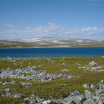
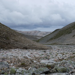
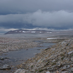
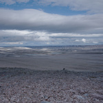
Gallery
Stangenestind and Syltefjord-SandfjordenWith a height of impressive 724 meters :) the Stangenestind is the highest mountain on the whole Varanger peninsula. Nevertheless the ascent of this mountain resembles a smaller expedition. Because to get to it, one has to hike two or three days through pathless and partly difficult terrain. And the weather can change quickly. Therefore this was already my third attempt to conquer this mountain. But this time I was lucky. Except from some thunderstorm showers during the actual ascent to the top the weather stayed rather friendly. Afterwards I stayed some days in the Syltefjord-Sandfjorden. |
|
The tour begins at Buevannet near Gednje
|
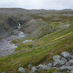
Up in the highplains I follow this river
|
A lovely place
|
But then the valley becomes stony
|
|
Vuodavuonjohka leads to Lille Leirpollvatn
|
Cotton grass
|
To the right of Leirpollvatn I follow this stone-valley
|
Over the watershed down to lake 407
|
|
Thunderstorm clouds on the next morning
|
And here it is – the Stangenestind
|
A lonely, widely visible stone man
|
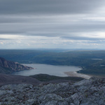
View to Leirpollen
|
|
The Stangenestind has twin peaks, the right one is higher
|
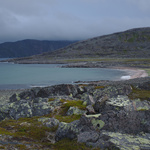
Arrival at Syltefjord-Sandfjorden
|
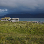
Abandoned fishing hut
|
Today I follow the Sandfjorddalselva up into the fjell
|
|
A small waterfall
|
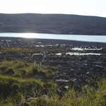
Encounter with a reindeer kid
|
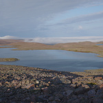
Lake 361 in the evening light
|
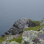
The bird cliff Stauran from above
|


